El Nino is on its way. Here’s what it may mean for Canada
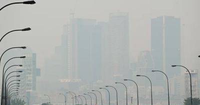
El Nino may have an effect on Canada’s weather beginning this summer and lasting all the way through the winter.Warning Preparedness Meteorologist with Environment Canada, Armel Castellan, said in a media conference Tuesday that “fairly robust modelling” indicates El Nino will make an impact this year.“We’ve shifted completely at the equatorial Pacific into El Nino conditions, meaning sea surface temperature anomalies are above normal,” said Castellan.“Now, how strong it will be remains to be seen, but it looks to be a fairly strong phenomenon this time around.”Statistically, he noted, the event doesn’t affect Canada’s weather until around Christmas time, when it may bring milder and drier weather for some parts of the country, and wetter weather for areas farther east.“Those typically happen between December and the middle of spring,” he said.Nevertheless, the condition is beginning a month or two earlier this year, according to the National Oceanic and Atmospheric Administration (NOAA), which “gives it room to grow.” There’s a 56 per cent chance it will be considered strong and a 25 per cent chance it reaches supersized levels, climate scientist Michelle L’Heureux, head of NOAA’s El Nino/La Nina forecast office, told the Associated Press.During El Nino, winds blowing west along the equator slow down, and warm water is pushed east, creating warmer surface ocean temperatures.The above-normal sea surface temperatures can shift weather patterns across the world, often by moving the paths of storms.Aside from El Nino’s future impact, Environment Canada is warning Canada will see above-normal temperatures until mid-July as the country has experienced a record-breaking wildfire season so far.“Right now, we won’t have a big.
Read more on globalnews.ca


