The same in other media
See how many people have died from coronavirus in your area of Bury
Reading now: 401
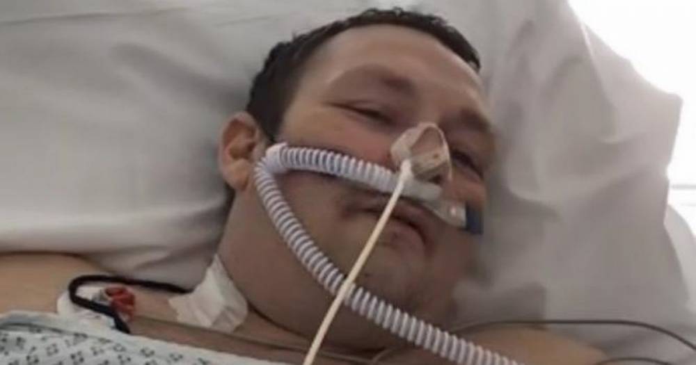
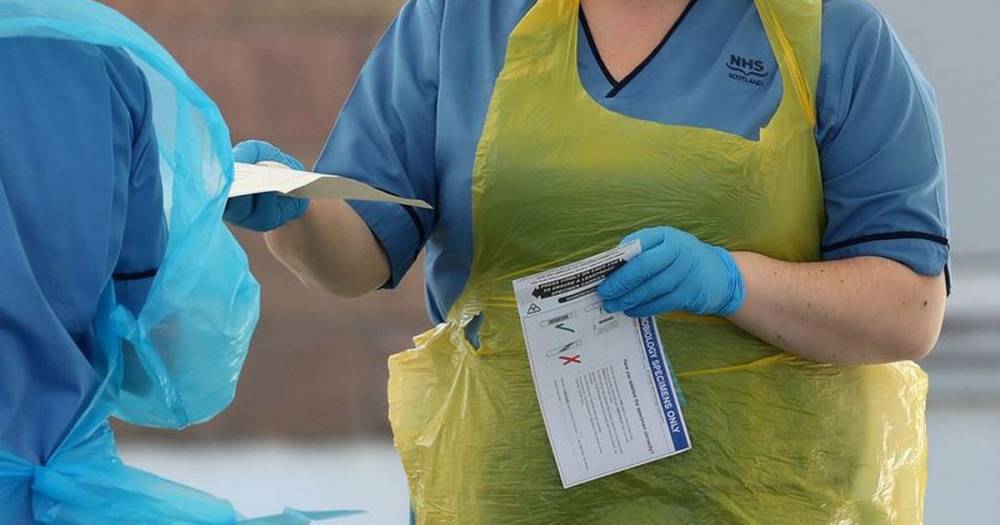
A new interactive map shows how many people have died from coronavirus in different areas of Bury. The map, which is based on data from the Office for National Statistics, includes deaths which occurred between March 1 and April 17, and were registered by April 18.
A death is included if 'coronavirus was the underlying cause or was mentioned on the death certificate as a contributory factor'.
Areas are broken up in terms of postcodes. In Bury, 'Walmersley and Limefield' has been the worst affected area with a total of seven deaths.
Six deaths have also been recorded in 'Nuttall and Tottington', 'Whitefield West and Park Lane', 'Prestwich Clough and Rainsough' and Sedgley Park.
Read more on manchestereveningnews.co.uk
The website covid-19.rehab is an aggregator of news from open sources. The source is indicated at the beginning and at the end of the announcement. You can send a complaint on the news if you find it unreliable.


COVID-19

United States
|
Cases: 46 252 513
Deaths: 750 423
Recovered: 0
|

India
|
Cases: 34 321 025
Deaths: 459 652
Recovered: 0
|

Brazil
|
Cases: 21 835 785
Deaths: 608 235
Recovered: 0
|

United Kingdom
|
Cases: 9 215 683
Deaths: 141 607
Recovered: 0
|

Russia
|
Cases: 8 494 589
Deaths: 237 619
Recovered: 0
|