The same in other media
You can now find out how many people have died in your postcode from coronavirus
Reading now: 828
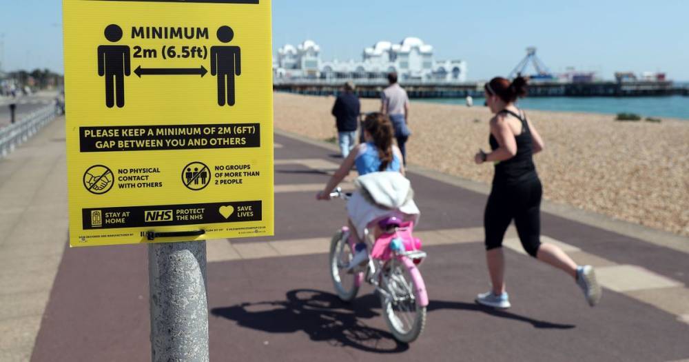
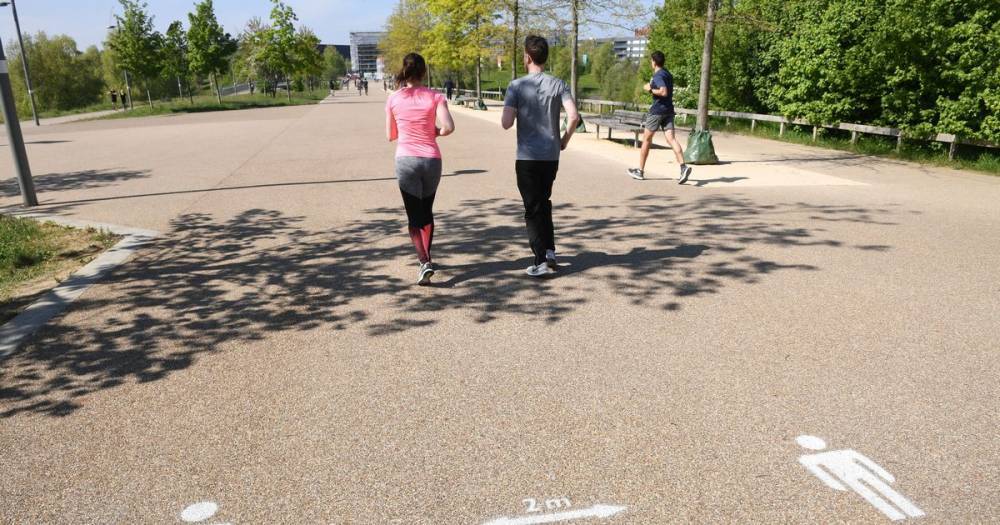
This interactive map shows how many people died in each postcode from coronavirus. It is based on data from the Office for National Statistics.
The map includes deaths which occurred between March 1 and April 17, and were registered by April 18. A death is included if 'coronavirus was the underlying cause or was mentioned on the death certificate as a contributory factor'.
To find out how many deaths occurred in your neighbourhood, you can click on the map below: The point on the map doesn't show the exact location of death, it signals the centre of the local area which they represent.
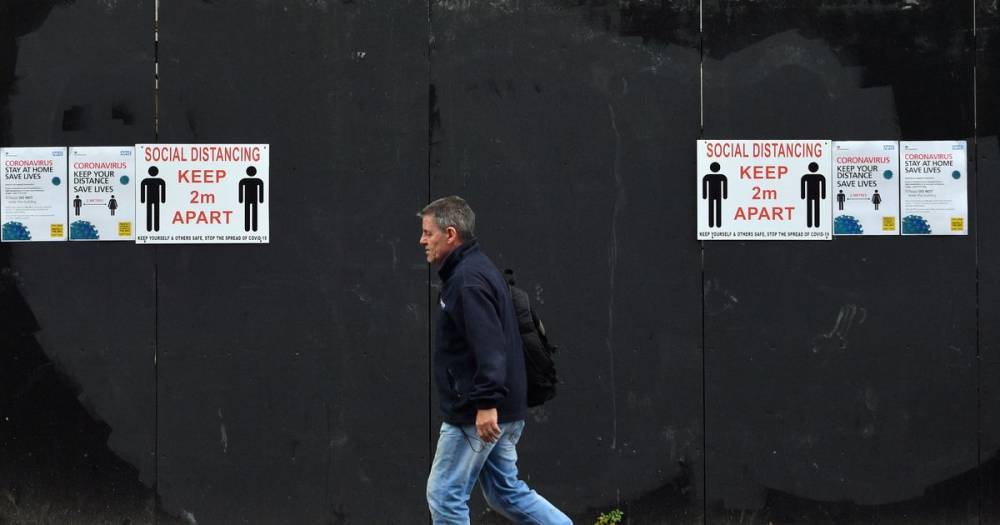
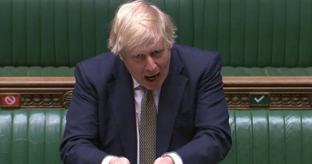
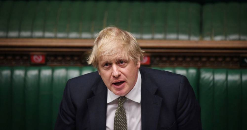
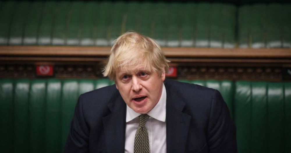
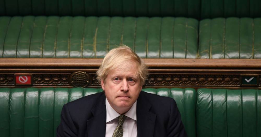
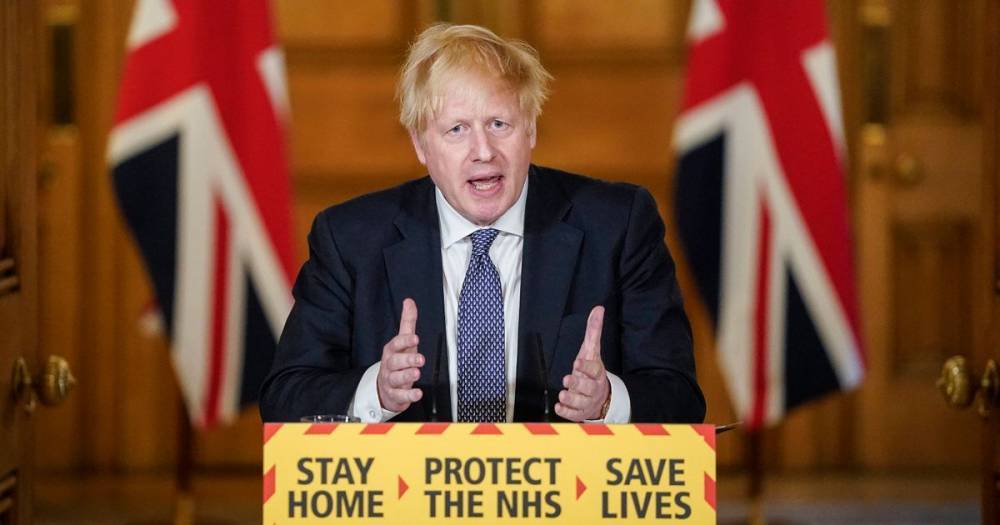
Yesterday (Thursday) Prime Minister Boris Johnson announced that a total of 26,711 people have died in the UK after contracting coronavirus.
Read more on manchestereveningnews.co.uk
The website covid-19.rehab is an aggregator of news from open sources. The source is indicated at the beginning and at the end of the announcement. You can send a complaint on the news if you find it unreliable.


COVID-19

United States
|
Cases: 46 252 513
Deaths: 750 423
Recovered: 0
|

India
|
Cases: 34 321 025
Deaths: 459 652
Recovered: 0
|

Brazil
|
Cases: 21 835 785
Deaths: 608 235
Recovered: 0
|

United Kingdom
|
Cases: 9 215 683
Deaths: 141 607
Recovered: 0
|

Russia
|
Cases: 8 494 589
Deaths: 237 619
Recovered: 0
|